
Connect people
Bridge neighborhood divides and strengthen community connections.
Proposed 10-mile multimodal trail
Proposed 10-mile multimodal trail
A proposed 10-mile loop linking neighborhoods, parks, transit, and culture around downtown.
In planning
What it can do
Bridge neighborhood divides and strengthen community connections.
Create welcoming routes with safer crossings, engaging amenities, and opportunities to explore.
Connect culture, civic life, and the history of our community.
Four segments, one connected vision
Routes and status follow the project team’s reviewed map. In Progress can include funding, design, or construction. Blue dotted lines show future alignments, not open routes.
The complete vision
Choose a route section to learn more.
This map shows project status, not walking or cycling directions. Route locations and current access require confirmation.
Project updates
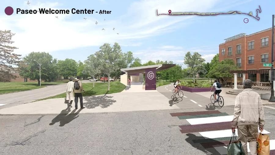
A Kansas City Design Center studio explored safer crossings, cultural public spaces, and neighborhood connections.
Read update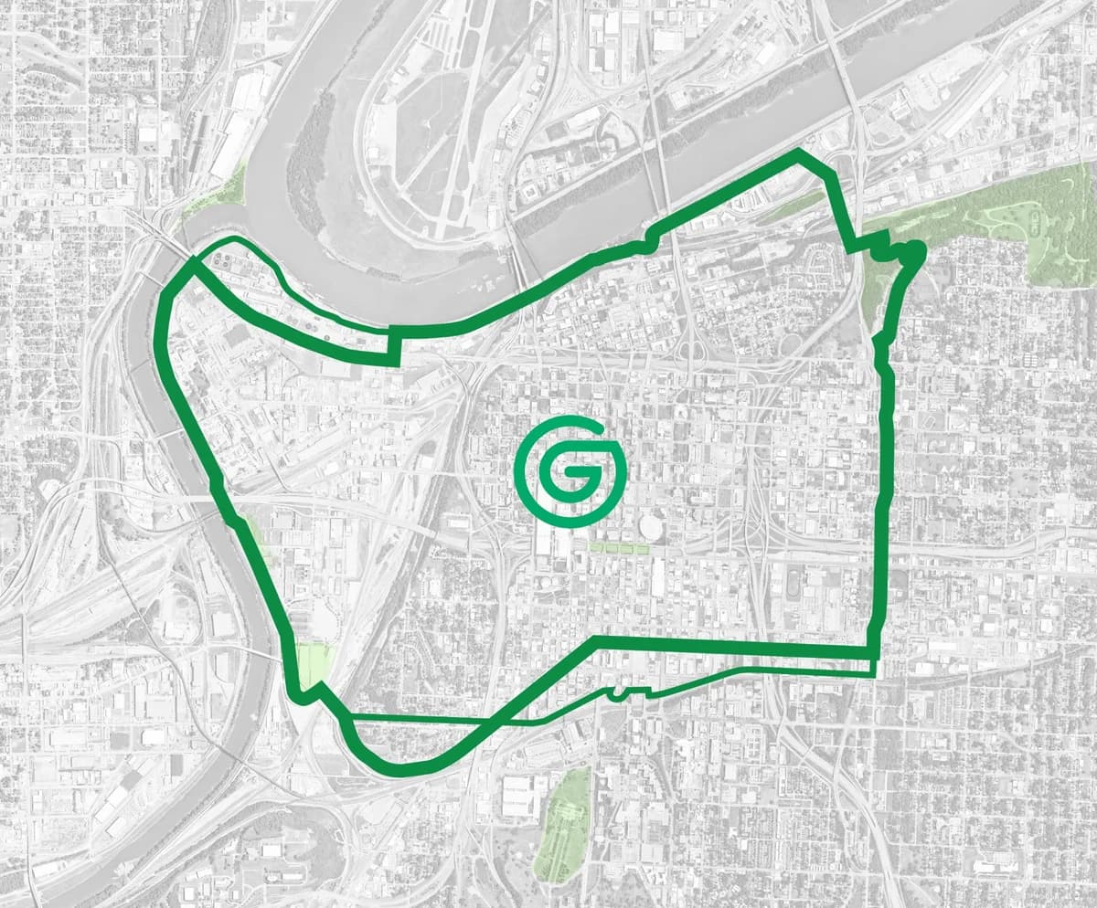
Axios explores the Kansas City Design Center students’ work, their public exhibit, and the connections taking shape around the proposed loop.
Read the story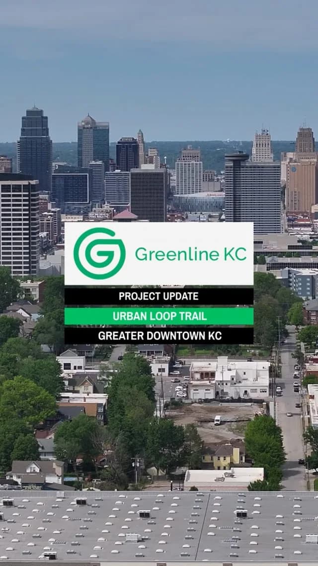
Watch the Greenline KC project update and learn about the proposed urban loop around greater downtown.
Read updateStay connected